Precision in every measurement. Confidence in every project.
Reliable land data, accurate measurements and detailed survey solutions for residential, commercial, agricultural and infrastructure projects.
- Total Station & GNSS / RTK
- Drone & aerial mapping
- CAD-ready survey drawings
Every successful land project begins with accurate information
We combine technology, systematic fieldwork and professional dedication to give you reliable measurements, so you can buy, build and develop with confidence.
- Method chosen to suit the site, scale and required accuracy
- Clear survey outputs: drawings, maps and documentation
- One brand for every land-related surveying requirement
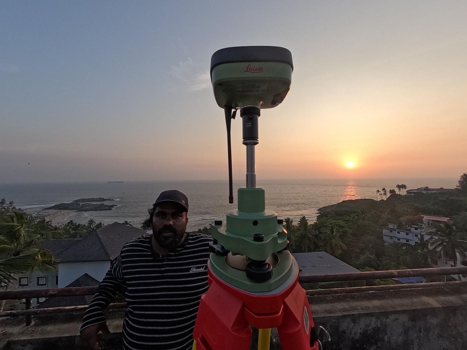
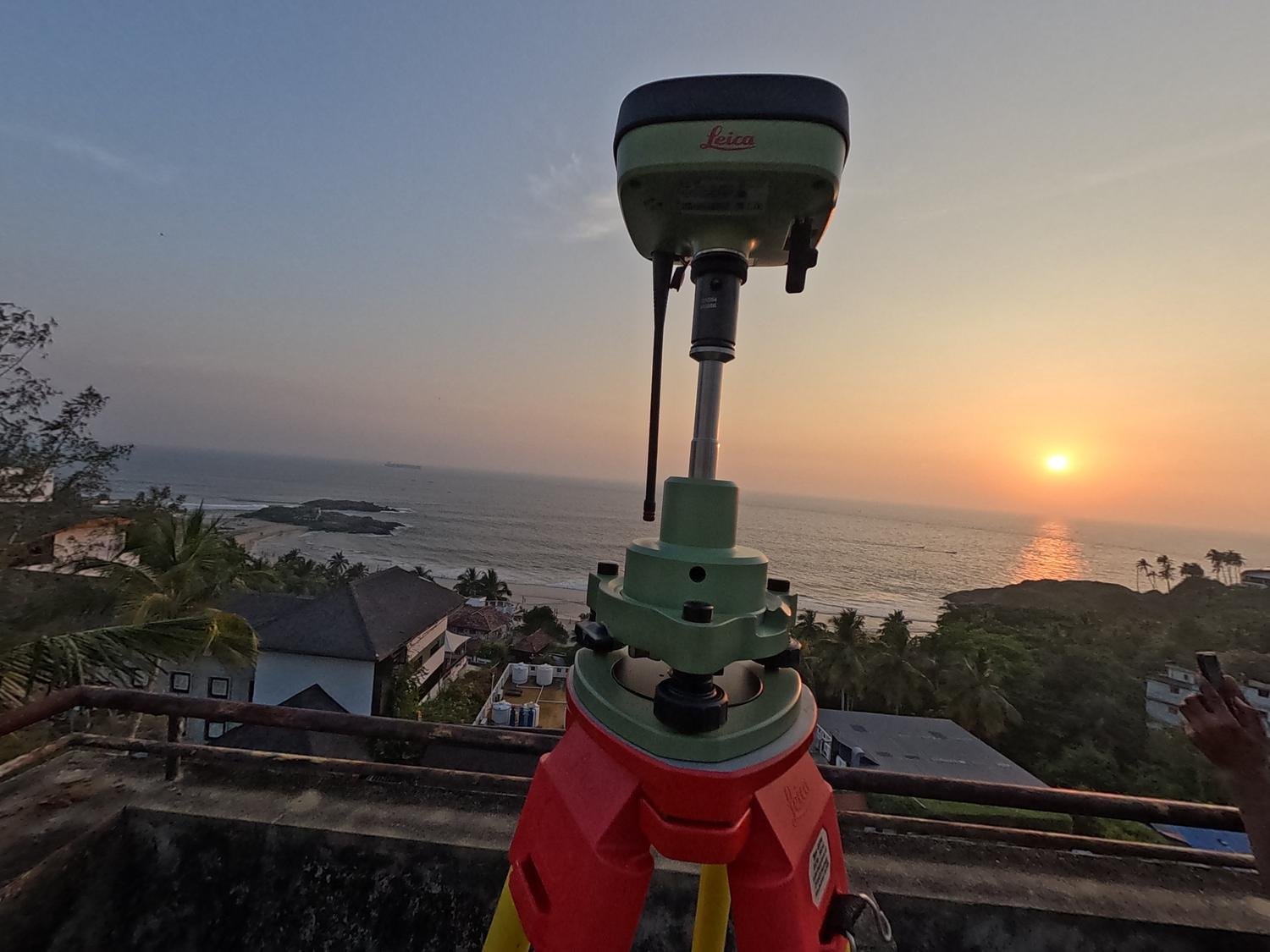
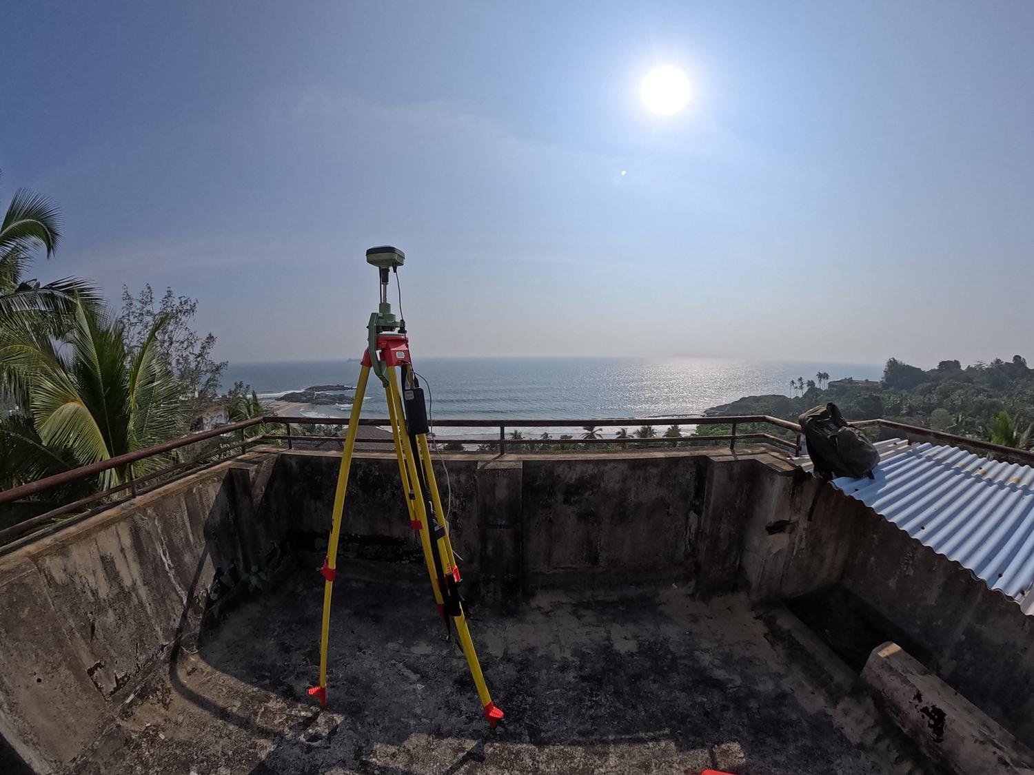
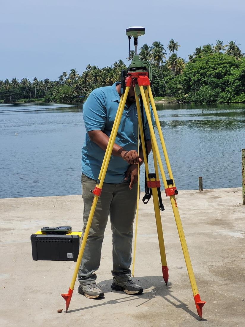
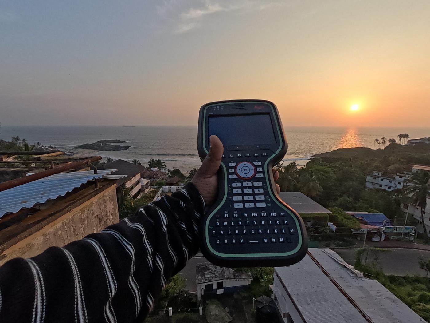
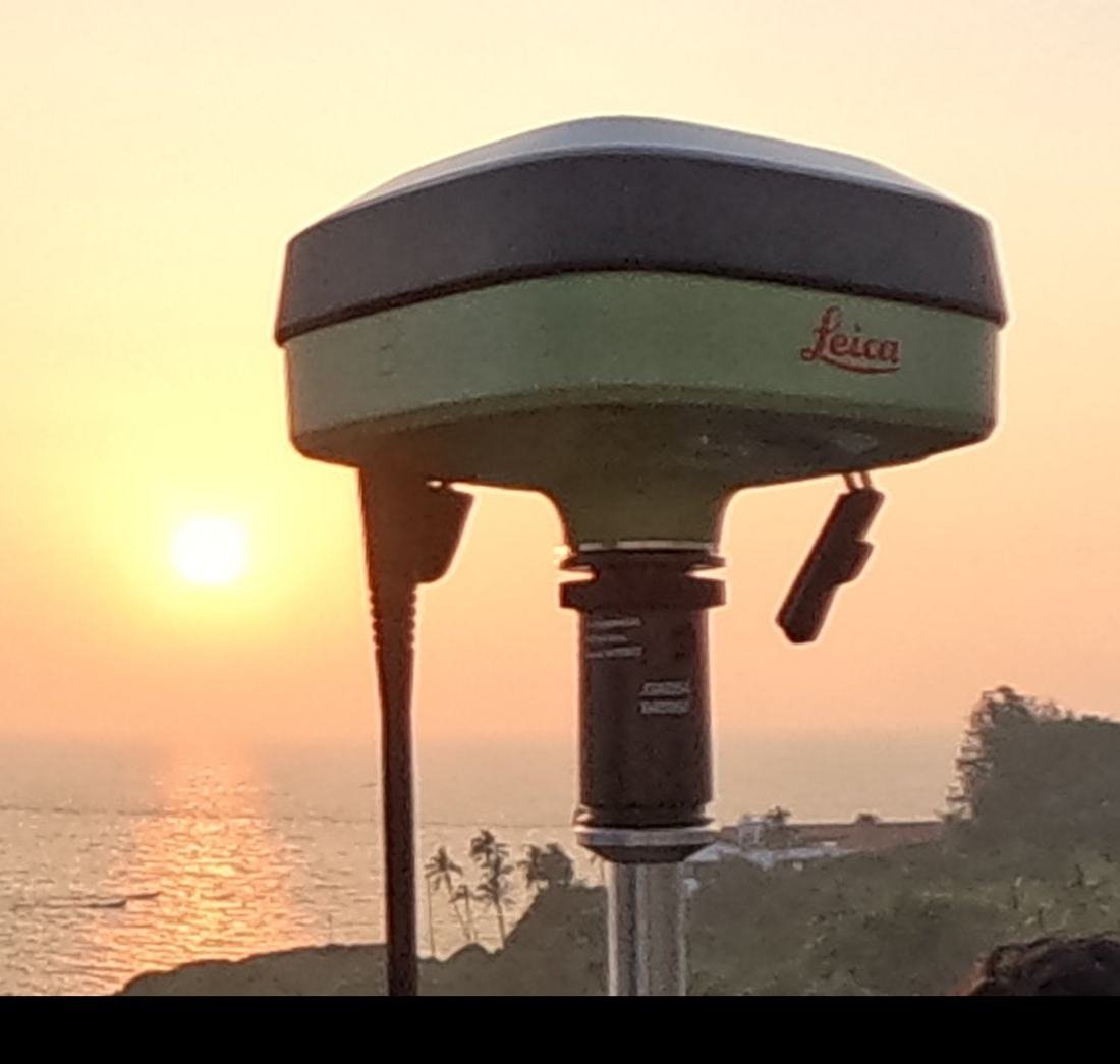
Real sites. Real instruments. Real data.
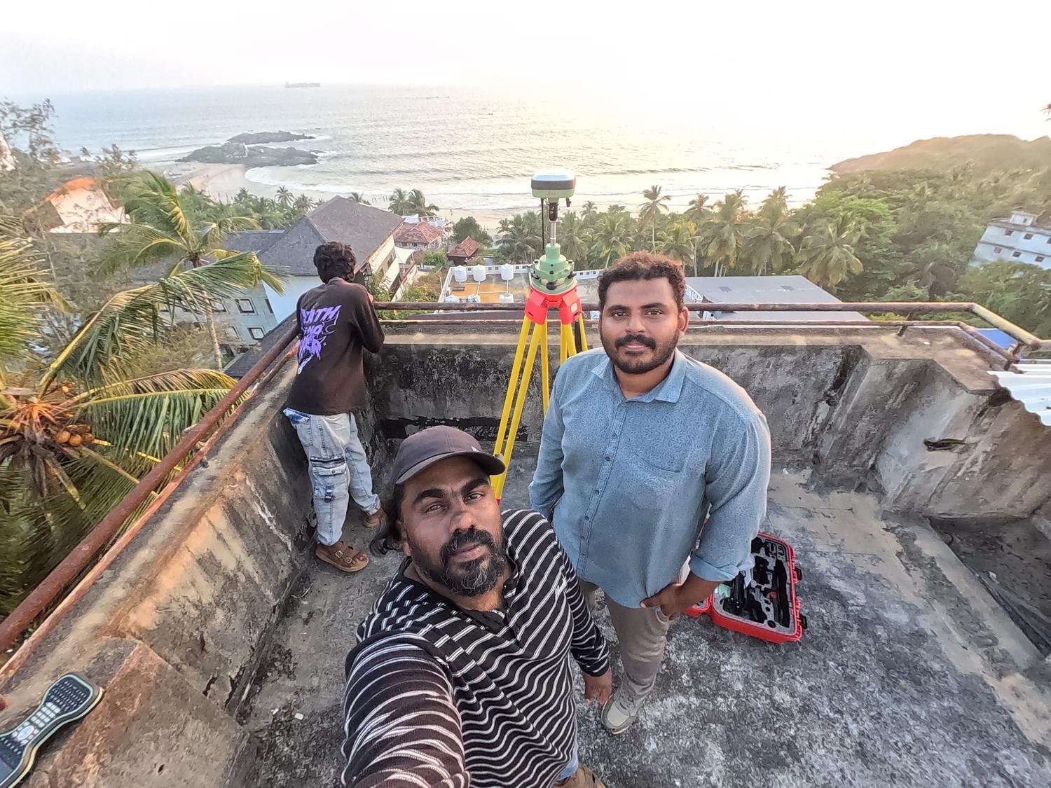
Our surveys are carried out on site with professional GNSS, RTK and total station equipment.
Complete surveying under one brand
From initial site inspection to detailed survey reports, we support every land-related requirement.
Digital Land Surveying
Modern measurement and data processing to capture land dimensions and spatial information. Supports plot measurement, site mapping, land documentation and development planning.
Learn more 02GPS & DGPS Surveying
Geographical positioning data for large land parcels, agricultural properties, infrastructure projects, land mapping and measurement.
Learn more 03Total Station Surveying
Electronic distance and angle measurement for plot measurements, construction layout, building alignment, site measurements and engineering projects.
Learn more 04Topographic Surveying
Captures physical features and elevation variations: contour mapping, elevation information, ground-level details, natural and man-made features and topographic site plans.
Learn more 05Boundary & Property Surveying
Identifies and measures property lines based on available records, survey references and applicable requirements for plots, farms and commercial properties.
Learn more 06Drone & Aerial Surveying
Site imagery and spatial data for suitable projects: large-area land mapping, site documentation, aerial imagery, development monitoring and project planning.
Learn more 07Construction & Engineering Site Surveying
Building layout surveys, construction setting out, site measurements, road and infrastructure projects and development planning.
Learn more 08Digital Mapping & Survey Drawings
CAD survey drawings, site plans, land measurement drawings, digital maps and survey data documentation based on project requirements.
Learn moreFive steps from question to survey
We don’t believe in a one-size-fits-all approach. Every site is different, and every project deserves a suitable surveying method.
- 01
Understand
Identify the client’s land surveying requirements.
- 02
Inspect
Evaluate the site and determine suitable survey methods.
- 03
Measure
Conduct field measurements using appropriate equipment.
- 04
Process
Analyse and prepare the collected survey information.
- 05
Deliver
Provide the agreed survey outputs and documentation.

Led by a commitment to precision
Lenin leads Rovar Digital Survey with a commitment to professional surveying services, modern technology and customer satisfaction. His vision is to provide complete land surveying solutions under one brand, making it easier for customers to access the surveying services they need.
- Professional surveying approach
- Modern digital surveying technology
- Transparent, customer-focused service
Built for every kind of land project
Accurate land information supports planning, development and execution across sectors.
Residential & Real Estate
Land measurements, plot surveys, site planning and property development support for homeowners, real estate professionals and property developers.
ExploreAgriculture & Farming
Surveying for agricultural properties, farmland measurement, land mapping and farm development planning.
ExploreIndustrial & Manufacturing
Site measurement and surveying support for industrial facilities, warehouses, factories and infrastructure development.
ExploreCommercial Development
Surveying for commercial plots, business properties, office developments and project planning.
ExploreCivil Engineering & Infrastructure
Survey data collection and site measurement support for roads, infrastructure and engineering projects.
ExploreIndividual Landowners
Measurement and survey support for individuals planning to buy, sell, develop or understand their property.
ExploreLet’s measure your land with confidence.
Share your location and requirement. We’ll recommend the right survey for your land.